30 Dec 2018 App Of The Day
GPS Map Stamp: Geotag Photos with Timestamp Camera
by GPS Map

Description
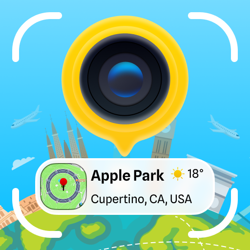
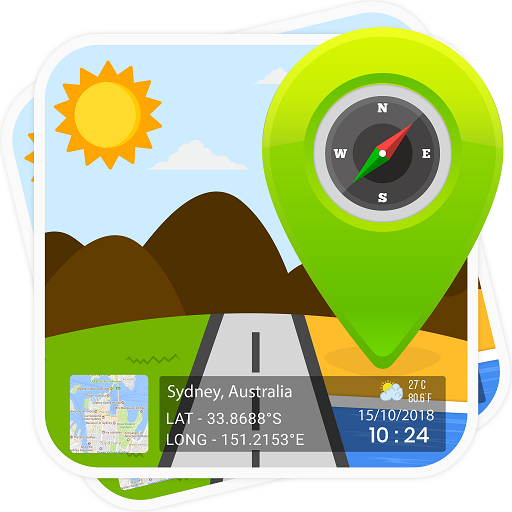
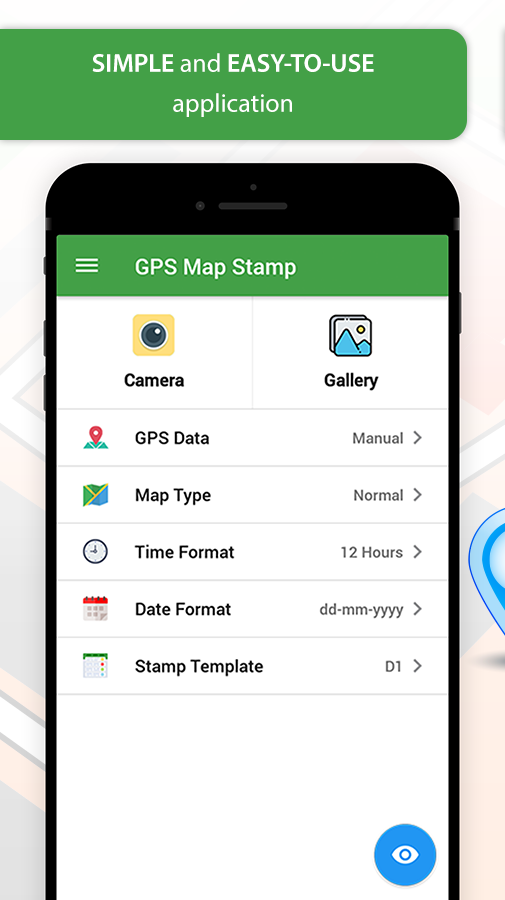
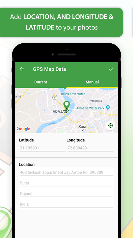
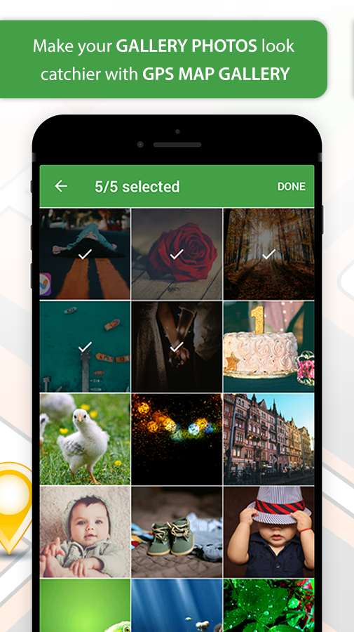
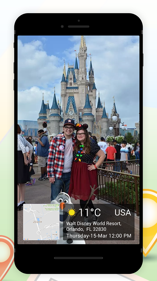
'GPS Map Stamp' is an Android application that helps a user to add location stamp (City, State, Country, Latitude, Longitude), date and time stamp, as well temperature to either on the pictures that captured through this GPS Camera or on pre-captured photos stored in your phone gallery!
Who can make the most of this photography application?
- Adventure savvy people: Trekkers, Archaeologists, and Travelers.
- Onsite visitors: Civil Engineers, Architectures, etc.
- Event/Exhibition organizers: Fashion Shows or Destination Weddings.
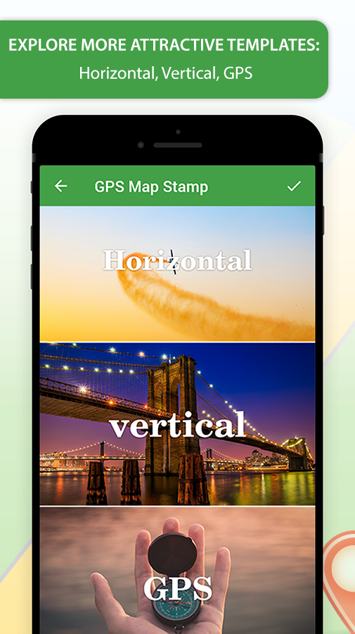
* Have a look at the collection of GPS Stamp templates for Geotag Photos with Timestamp:
- Local Temperature Units (°C or °F)
- Your Location Data (Detailed Address)
- GPS Maps (Normal, Satellite, Terrain, Hybrid)
- DateTime Stamp.
Related Apps
-
AOTD
Love Locket Photo Editor
by Vasu infotech
1712 -
AOTD
GPS Map Camera ~ Geo Timestamp
by HkinfowayTechnologies
1804 -
Lifestyle Photo Frame
by Karab Apps
3776