Description
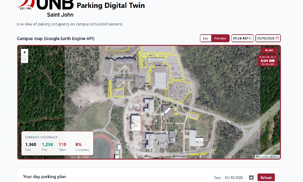
UNBSJ PARKING LOT DIGITAL TWIN
PROBLEM
Paarking at university campuses is a daily friction point that impacts students in a very real way. At UNB Saint John, students often rely on guesswork; driving between lots, hoping to find an open space, and losing valuable time before class. The issue isn’t just limited parking it’s lack of clear, real-time visibility. Students don’t have an easy way to understand availability across campus, and existing tools don’t reflect how people actually navigate the environment. The result is stress, inefficiency, and constant uncertainty.
HOW WE TACKLED THIS THROUGH DESIGN
The core design challenge was taking a complex, invisible system and making it feel clear, precise, and usable in seconds. This was solved through a combination of custom visual assets and spatially accurate data modeling:
16 custom-designed parking lot SVGs
Each parking lot on campus was individually recreated as a large, detailed SVG, with every parking space represented as its own layer. These are not generic maps. They are lot-specific, hand-prepared vector graphics designed to match real-world layouts.
This allows the UI to show true per-spot availability, where each space can be individually updated, colored, and interacted with.
Layer-based interaction system
Because each parking space exists as a distinct SVG layer, the interface can dynamically respond to data, changing colors in real time, supporting click interactions, and maintaining clarity even at high density. This creates a direct connection between data and visual feedback.
192 manually mapped walking routes
Every parking lot (16 total) was mapped to every campus building (12 total), resulting in 192 unique walking routes. These were manually drawn using satellite tools to reflect how students actually move, following sidewalks, paths, and natural routes rather than straight-line estimates.
This ensures that users are not just choosing where to park, but understanding how that choice translates into real travel time.
Layered map composition
The interface combines multiple layers, including base campus visuals, SVG overlays, and real-time data, to create a seamless experience. Users can move from a full-campus overview down to individual parking spots without losing context.
Visual-first decision making
Color-coded heat maps were chosen to reduce cognitive load. Instead of interpreting numbers, users can instantly understand availability through simple visual cues.
Real-time simulation integration
In place of physical sensors, the system simulates parking activity, continuously updating the interface to reflect a living, changing environment.
Related Websites
-
India Tour Taxi
by India Tour Taxi
994 -
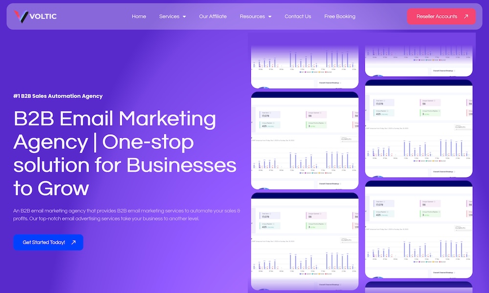
Voltic Agency
by VolticAgency
585 -
WebTechPanda
by WebTechPanda
1156